Why Aravalli Range in News?
The Aravalli Range is in the news due to a recent Supreme Court-accepted definition that only classifies landforms rising at least 100 meters above the local area as “Aravalli Hills”.
Supreme Court Judgement on Aravalli Range
The legal status of the Aravallis underwent a significant shift in November 2025.
- Uniform Definition (The 100-Metre Rule): The Supreme Court accepted a new scientific definition. A landform is now officially “Aravalli Hill” if it rises 100 metres or more above the local relief.
- The 500-Metre Cluster Rule: If two such hills are within 500 metres of each other, the entire intervening area (including valleys and low ridges) is protected as “Aravalli Range.”
- Freeze on Mining: The Court has ordered a complete freeze on new mining leases across the entire range (from Gujarat to Delhi) until the Management Plan for Sustainable Mining (MPSM) is finalized by the Indian Council of Forestry Research and Education (ICFRE).
- Core Area Protection: Mining is permanently banned in “Core/Inviolate” areas, which include National Parks, Tiger Reserves, and Wetlands.
Aravalli Range Origin
The Aravallis are not just mountains; they are a window into Earth’s ancient history.
- Age: Estimated to be 1.8 to 2.5 billion years old, originating in the Paleoproterozoic Era. They are significantly older than the Himalayas (which are only about 50 million years old).
- Type: They are Ancient Fold Mountains. Due to millions of years of weathering, they are now classified as Relict or Residual Mountains.
- Orogeny: Formed during the Aravalli-Delhi Orogen, caused by the collision of the Bundelkhand Craton and the Marwar Craton.
- Rock Composition: Primarily composed of Quartzite, Gneiss, and Schist.
Aravalli Range Physiographic Characteristics
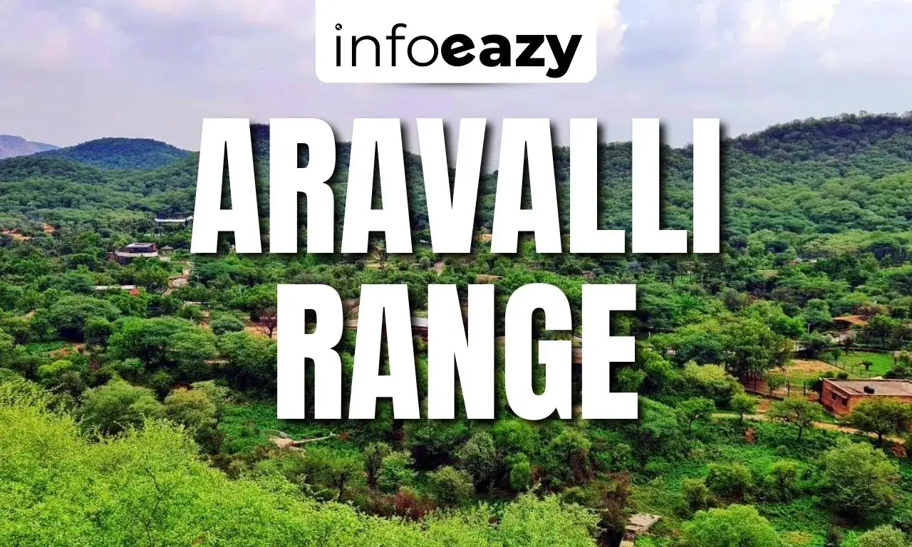
- The Aravalli Range is a highly eroded, discontinuous mountain system, reflecting its great geological age and long exposure to denudational processes.
- It extends for about 670 km in a north-east to south-west direction, from Delhi to Palanpur (Gujarat).
- The range passes through Delhi, Haryana, Rajasthan, and Gujarat, forming a major physiographic feature of north-western India.
- The northern Aravallis are low, broken, and appear as isolated hillocks and ridges, especially around Delhi and Haryana.
- The southern Aravallis are comparatively higher, more continuous, and rugged, particularly in southern Rajasthan.
- The range consists mainly of rocky ridges, plateaus, escarpments, and narrow valleys.
- It acts as a physiographic divide between the Thar Desert in the west and the eastern Rajasthan plains.
- The rocks are predominantly igneous and metamorphic, including gneiss, schist, quartzite, and marble.
- The average height ranges between 300–900 metres, with some peaks exceeding 1,000 metres.
- Mount Abu plateau, the highest part of the range, stands out as a distinct physiographic unit.
Important Peaks, Hills and Passes of the Aravalli Range
The Aravalli Range contains several important peaks and hill systems, mainly concentrated in southern Rajasthan, while its passes have historically enabled movement, trade, and settlement. These features highlight the range’s physiographic diversity despite its highly eroded nature.
| Important Peaks, Hills and Passes of the Aravalli Range | |||
| Category | Name | Location / State | Significance |
| Peak | Guru Shikhar | Mount Abu, Rajasthan | Highest peak of the Aravalli Range (≈1,722 m); sacred site |
| Peak | Ser Peak | Near Kumbhalgarh, Rajasthan | Second-highest peak; part of southern Aravallis |
| Hill Range | Delwara Hills | Near Udaipur, Rajasthan | Forms eastern extension; rich forest cover |
| Hill Range | Kumbhalgarh Hills | Rajasthan | Noted for Kumbhalgarh Fort; rugged terrain |
| Hill Plateau | Mount Abu Plateau | Rajasthan | Only hill station of Rajasthan; volcanic origin |
| Pass | Haldighati Pass | Near Nathdwara, Rajasthan | Historic battlefield; trade route |
| Pass | Desuri Pass | Pali–Rajsamand region, Rajasthan | Connects Mewar and Marwar regions |
Drainage System Associated with the Aravalli Range
- The Aravalli Range acts as a major watershed, separating east-flowing and west/south-west-flowing river systems.
- The Luni River is the principal river of the Aravalli region, flowing towards the Rann of Kutch with mostly inland drainage.
- The Banas River originates in the Aravallis and flows eastward as a major tributary of the Chambal–Ganga system.
- The Sabarmati and Mahi rivers rise from the southern Aravallis and drain into the Arabian Sea.
- Most Aravalli rivers are seasonal, due to low rainfall, hard rocky surface, and high evaporation.
- The fractured rocky terrain promotes groundwater recharge, making the Aravallis crucial for regional water security.
Aravalli Range Significance
- The Aravalli Range acts as a natural barrier against the eastward expansion of the Thar Desert, helping to check desertification in Rajasthan, Haryana, and adjoining regions.
- It plays a crucial role in regulating the climate of north-western India by influencing wind patterns and supporting limited orographic rainfall in the region.
- The range is vital for groundwater recharge, as its fractured and weathered rocks allow rainwater to percolate and replenish aquifers.
- The Aravallis support dry deciduous forests, grasslands, and rich biodiversity, providing habitat to numerous plant and animal species.
- It contributes to air quality improvement, especially for the Delhi–NCR region, by acting as a green lung and dust barrier.
- The region is rich in minerals such as copper, zinc, marble, and limestone, supporting local economies, though requiring sustainable management.
- It has historical and cultural importance, influencing settlement patterns, trade routes, and hosting sites like Mount Abu and Kumbhalgarh Fort.
Also Read: SHANTI Bill 2025
Government Initiatives to Save Aravalli Range
- The Supreme Court and National Green Tribunal (NGT) directives, implemented by the government, have led to a ban on illegal mining in several parts of the Aravalli Range, particularly in Haryana and Rajasthan, to prevent ecological degradation and groundwater depletion.
- The Aravalli Green Wall Project, launched by the Ministry of Environment, Forest and Climate Change (MoEFCC), aims to restore degraded land by creating a green buffer across the Aravalli landscape, helping combat desertification, climate change, and air pollution.
- The government has strengthened afforestation and reforestation programs under schemes such as the National Afforestation Programme and CAMPA, focusing on native species suitable for dry and semi-arid conditions.
- Eco-Sensitive Zone (ESZ) notifications around wildlife sanctuaries and forest areas in the Aravallis regulate construction, mining, and industrial activities to ensure sustainable land use.
- Watershed development and rainwater harvesting projects are being implemented to improve groundwater recharge and address water scarcity in Aravalli districts.
Aravalli Range FAQs
Q1. What is the Aravalli Range?+
Q2. Where is the Aravalli Range located?+
Q3. Which is the highest peak of the Aravalli Range?+
Q4. Why is the Aravalli Range ecologically important?+
Q5. Which major rivers originate from the Aravalli Range?+
Tags: Aravalli Range