The Narmada River System is one of the most prominent river systems in peninsular India. It plays a vital role in the ecology, economy, and culture of central and western India. The river forms a natural boundary between the Vindhya and Satpura ranges, shaping the topography of central India. It supports a rich ecosystem and caters to irrigation, drinking water, and hydropower generation. Major cities along its course include Jabalpur, Hoshangabad, Bharuch, and Mandleshwar.
The Narmada Basin covers around 98,796 square kilometers, spreading across Madhya Pradesh, Maharashtra, and Gujarat. With a number of tributaries such as the Tawa, Hiran, Orsang, Shakkar, and Dudhi, the Narmada River System sustains diverse life forms and millions of livelihoods. Major projects like the Sardar Sarovar Dam and Indira Sagar Project underline its importance in India’s water resource development.
Narmada River System
The Narmada River majorly flows through two states, Madhya Pradesh and Gujarat. It is often referred to as the “Lifeline of Madhya Pradesh and Gujarat” due to its major role in supporting agriculture, providing drinking water, powering industries, and generating hydropower in these regions. Flowing westward, the Narmada drains into the Arabian Sea through the Gulf of Cambay. Uniquely, it is one of the few rivers in India that flows through a rift valley, bordered by the Satpura Range to the south and the Vindhya Range to the north.
Narmada River Origin
The Narmada River, also known as the Rewa, originates from the Amarkantak Plateau in the Anuppur district of Madhya Pradesh. The source of the river is a small reservoir located at an elevation of about 1,057 meters above sea level. This sacred river holds immense geographical, cultural, and spiritual significance in India. Flowing westward, it is one of the few rivers in the country to travel from east to west, eventually draining into the Arabian Sea.
The origin point at Amarkantak is not only a geographical landmark but also a revered pilgrimage site, surrounded by temples and forests. The river traverses a course of approximately 1,312 kilometers, acting as a natural boundary between the states of Madhya Pradesh and Maharashtra, and later between Madhya Pradesh and Gujarat.
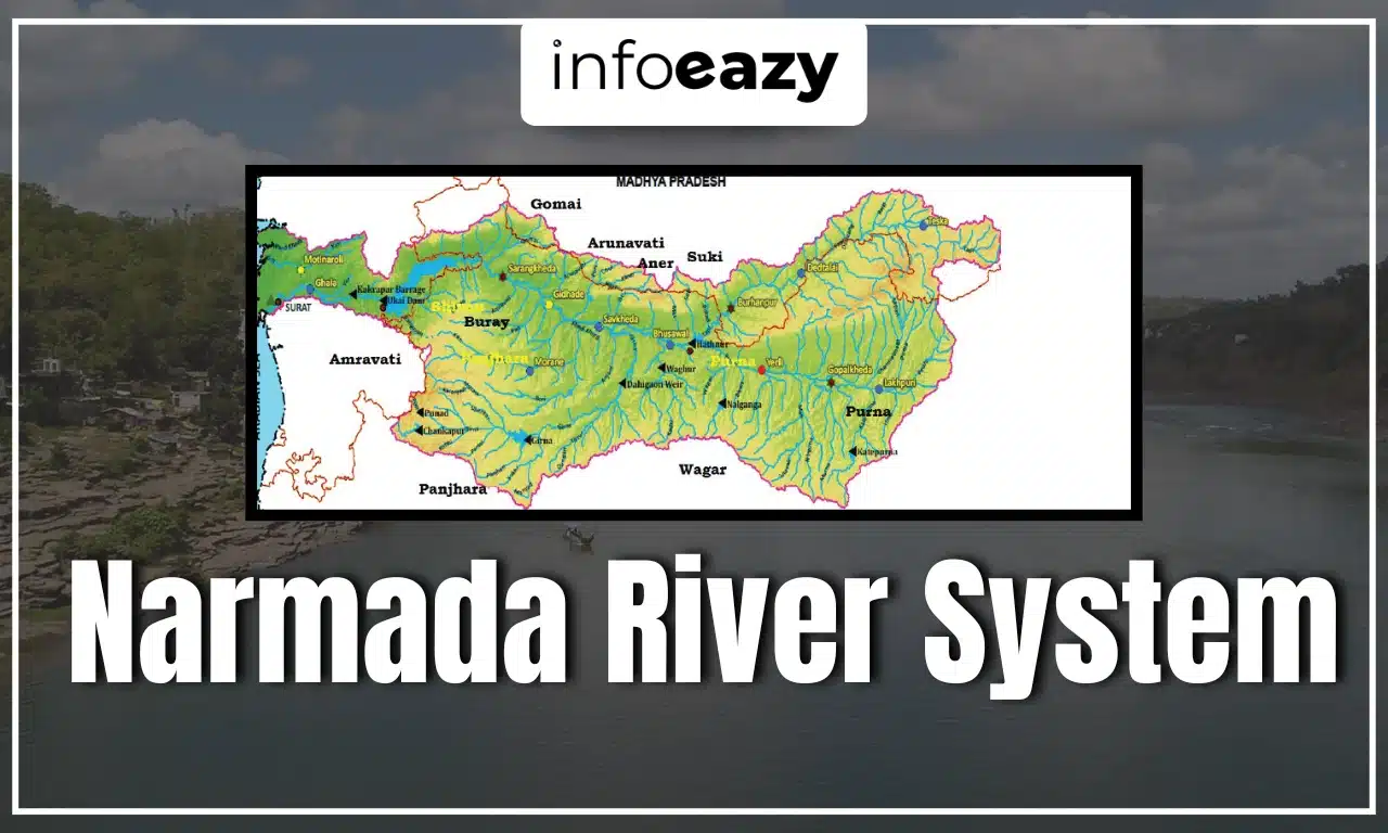
Narmada Basin
The Narmada River basin covers an area of about 98,796 square kilometers, which makes up to nearly 3% of India’s total land area. It is surrounded by the Vindhya hills to the north, the Maikala range to the east, the Satpura hills to the south, and the Arabian Sea to the west. The basin mainly lies in the states of Madhya Pradesh and Gujarat, with smaller parts extending into Maharashtra and Chhattisgarh.
Narmada River Tributaries
The Narmada River is fed by numerous tributaries that contribute to its flow and enhance the fertility of the surrounding regions. These Narmada River Tributaries are broadly classified into left-bank and right-bank tributaries based on the side they join the main river. Most of them originate in the Satpura Range and are seasonal, flowing predominantly during the monsoon months. Below is a categorized list of major tributaries:
| Narmada River Tributaries | |||
| Tributary Name | Bank | Origin | Key Features |
| Tawa River | Left Bank | Satpura Range, Madhya Pradesh | Longest tributary (~300 km); significant for irrigation and Tawa Dam. |
| Shakkar River | Left Bank | Satpura Hills, near Narsinghpur, MP | Seasonal river; supports agriculture. |
| Sher River | Left Bank | Satpura Range, near Jabalpur | Monsoon-fed seasonal stream. |
| Barna River | Left Bank | Satpura Hills, Jabalpur district | Helps in irrigating local farmland. |
| Ganjal River | Left Bank | Madhya Pradesh Plateau, near Jabalpur | Minor tributary contributing to regional flow. |
| Hiran River | Right Bank | Satpura Hills, Madhya Pradesh | Flows ~200 km before merging near Omkareshwar; important for biodiversity. |
| Kolar River | Right Bank | Satpura Hills, Madhya Pradesh | Provides water to adjacent districts; useful for agriculture. |
| Tendoni River | Right Bank | Satpura Hills, Madhya Pradesh | Small, monsoon-dependent tributary. |
| Karjan River | Right Bank | Satpura Range, Madhya Pradesh | Supports irrigation in Gujarat; an important right-bank tributary. |
Also Read: Krishna River System
Narmada River Dams
The Narmada River System is home to several important dams that play an important role in irrigation, drinking water supply, and hydroelectric power generation across Madhya Pradesh, Gujarat, and Maharashtra. These dams have been developed as part of the Narmada Valley Development Project, aiming to harness the river’s potential for sustainable development. The following table highlights the major dams built on the Narmada River, along with their locations, heights, and key purposes:
| Narmada River Dams | |||
| Dam Name | Location | Height | Key Features & Purpose |
| Sardar Sarovar Dam | Gujarat | 163 meters | Tallest dam on Narmada; irrigates 18 lakh hectares; drinking water for 9,000 villages & 131 towns. |
| Indira Sagar Dam | Madhya Pradesh | 92 meters | One of India’s largest reservoirs by volume; irrigates 1.23 lakh hectares; supports drinking water supply. |
| Omkareshwar Dam | Madhya Pradesh | 53 meters | Downstream of Indira Sagar; hydro capacity of 520 MW; supports canal-based irrigation. |
| Maheshwar Dam | Madhya Pradesh | – | First private-sector hydropower project on Narmada; focused on electricity generation. |
| Bargi Dam | Madhya Pradesh | – | Among first dams under Narmada Valley Project; used for irrigation and power generation. |
Narmada River System FAQs
Q1. What is the origin of the Narmada River?+
Q2. What is the catchment area of the Narmada river?+
Q3. What are the main tributaries of the Narmada River?+
Q4. The Narmada River primarily flows in which direction?+
Q5. How many dams are in the Narmada River?+
Tags: Narmada River System