Madhya Pradesh, often referred to as the “Heart of India” due to its central location, is the second-largest Indian state by area and fifth-largest by population. Known for its rich heritage, vast forests, tribal diversity, and historical monuments, Madhya Pradesh is administratively divided into several districts for efficient governance and development. Each district of Madhya Pradesh has its own identity shaped by geography, history, and culture.
Districts of Madhya Pradesh About
Madhya Pradesh, formed on November 1, 1956, after the reorganization of states, has undergone several administrative changes over time. With the aim of decentralizing governance, the state is currently divided into 55 districts as of 2025. These districts are grouped into 10 divisions, each headed by a Divisional Commissioner.
Each district is governed by a District Collector (DC) or District Magistrate (DM), who is responsible for revenue administration, law and order, and implementation of government schemes. The police administration is headed by a Superintendent of Police (SP) in each district. The division of districts ensures better implementation of developmental programs, law enforcement, and quick grievance redressal, especially in tribal and backward areas of the state.
List of Districts of Madhya Pradesh
As of 2025, Madhya Pradesh comprises the following 55 districts. The total number may vary slightly depending on new district formations, which are subject to government approval. The Madhya Pradesh government has taken a significant step toward expanding its administrative framework by proposing three new districts: Chachaura, Maihar, and Nagda. Although not officially established yet, the state cabinet approved the proposal in March 2020.
| List of Districts of Madhya Pradesh | ||
| District Name | Area (sq km) | Population |
| Agar Malwa | 2,785 | 480,000 |
| Alirajpur | 3,182 | 728,999 |
| Anuppur | 3,746 | 749,237 |
| Ashoknagar | 4,674 | 845,071 |
| Balaghat | 9,229 | 1,701,698 |
| Barwani | 5,432 | 1,385,881 |
| Betul | 10,043 | 1,575,362 |
| Bhind | 4,459 | 1,703,005 |
| Bhopal | 2,772 | 2,371,061 |
| Burhanpur | 2,473 | 757,847 |
| Chhatarpur | 8,687 | 1,762,375 |
| Chhindwara | 11,815 | 2,090,922 |
| Damoh | 7,306 | 1,264,219 |
| Datia | 2,038 | 786,754 |
| Dewas | 7,020 | 1,563,715 |
| Dhar | 8,153 | 2,185,793 |
| Dindori | 7,427 | 704,524 |
| East Nimar (Khandwa) | 10,779 | 1,310,061 |
| Guna | 6,485 | 1,241,519 |
| Gwalior | 5,214 | 2,032,036 |
| Harda | 3,339 | 570,465 |
| Hoshangabad | 6,698 | 1,241,350 |
| Indore | 3,898 | 3,276,697 |
| Jabalpur | 5,210 | 2,463,289 |
| Jhabua | 6,782 | 1,025,048 |
| Katni | 4,927 | 1,292,042 |
| Mandla | 5,805 | 1,054,905 |
| Mandsaur | 5,530 | 1,340,411 |
| Morena | 4,991 | 1,965,970 |
| Narsinghpur | 5,133 | 1,091,854 |
| Neemuch | 4,267 | 826,067 |
| Niwari | – | 23,724 |
| Panna | 7,135 | 1,016,520 |
| Raisen | 8,446 | 1,331,597 |
| Rajgarh | 6,154 | 1,545,814 |
| Ratlam | 4,861 | 1,455,069 |
| Rewa | 6,434 | 2,365,106 |
| Sagar | 10,252 | 2,378,458 |
| Satna | 7,502 | 2,228,935 |
| Sehore | 6,578 | 1,311,332 |
| Seoni | 8,758 | 1,266,784 |
| Shahdol | 6,215 | 2,043,644 |
| Shajapur | 6,215 | 1,653,723 |
| Sheopur | 6,215 | 687,444 |
| Singrauli | 5,056 | 1,178,132 |
| Sidhi | 5,246 | 845,071 |
| Ujjain | 6,091 | 1,986,864 |
| Umaria | 4,548 | 644,689 |
| Vidisha | 5,237 | 1,250,733 |
| West Nimar (Khargone) | 8,025 | 2,117,670 |
| Balaghat | – | – |
Largest District of Madhya Pradesh
The Largest District of Madhya Pradesh by area is Chhindwara with an area of around 11,815 sq. km situated in the south-western part of the state. Known for its rich forest cover, tribal population, and natural beauty, Chhindwara is one of the most ecologically diverse districts in the state. It also has significant industrial development and educational institutions.
Smallest District of Madhya Pradesh
The Smallest District of Madhya Pradesh by area is Niwari covering the area around 1,170 sq. km which was formed in: 2018, carved out of Tikamgarh district. Despite being the smallest, Niwari has cultural importance due to its proximity to historic sites and temples. Its creation aimed to improve administrative efficiency in the Bundelkhand region.
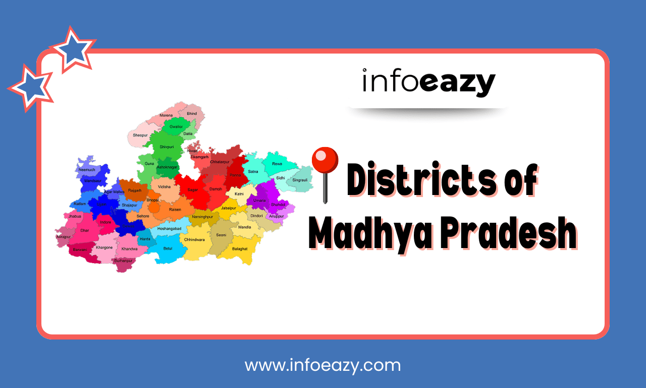
Districts of Madhya Pradesh Map
A Districts of Madhya Pradesh Map provides a clear understanding of its vast geography and administrative layout. The state is bordered by Uttar Pradesh, Chhattisgarh, Maharashtra, Rajasthan, and Gujarat, giving it a strategic location.
- Northern districts: Known for historical sites (e.g., Gwalior, Morena, Bhind)
- Western districts: Include major cities like Indore and Ujjain, rich in trade and culture
- Eastern districts: Forest-rich areas like Mandla and Dindori, important for tribal development
- Southern districts: Feature hilly and forested terrain (e.g., Chhindwara, Seoni)
Districts of Madhya Pradesh FAQs
Q1. How many districts are there in Madhya Pradesh in 2025?+
Q2. Which is the largest district in Madhya Pradesh by area?+
Q3. Which is the smallest district in Madhya Pradesh by area?+
Q4. Which district has the highest population in Madhya Pradesh?+
Q5. Which is the capital district of Madhya Pradesh?+
Tags: Districts of Madhya Pradesh Madhya Pradesh