Maharashtra, India’s second most populous state and the third-largest by area in the country, is administratively divided into 36 districts, grouped into six administrative divisions: Konkan, Nashik, Pune, Aurangabad, Amravati, and Nagpur. These divisions ensure efficient governance across the diverse geographic and cultural terrains of the state. The Districts of Maharashtra are spread across five geographic regions, Konkan, Paschim Maharashtra (Desh), North Maharashtra (Khandesh), Marathwada, and Vidarbha, each with unique demographic and economic characteristics.
Districts of Maharashtra
Districts of Maharashtra function as an administrative unit overseen by a District Collector, generally an IAS or state service officer. Districts are further subdivided into talukas and tehsils, totaling 358 talukas statewide. As of the Census 2011, Maharashtra covered 307,713 km² and housed a population of approximately 112.4 million. Knowing district-level statistics such as area, population, and density is crucial for focusing on developmental planning, local governance, and regional disparities.
List of Districts of Maharashtra
Below is a region-wise categorization of 36 Districts of Maharashtra, grouped by administrative division for clarity:
| SNo | District Name | Area (km2) | Population |
| 1 | Ahmednagar (Ahilyanagar) | 17,048 | 4,543,159 |
| 2 | Akola | 5,428 | 1,813,906 |
| 3 | Amravati | 12,235 | 2,888,445 |
| 4 | Aurangabad (Chhatrapati Sambhaji Nagar) | 10,100 | 3,701,282 |
| 5 | Beed | 10,693 | 2,585,049 |
| 6 | Bhandara | 3,717 | 1,200,334 |
| 7 | Buldhana | 9,661 | 2,486,258 |
| 8 | Chandrapur | 11,443 | 2,204,307 |
| 9 | Dhule | 7,195 | 2,050,862 |
| 10 | Gadchiroli | 14,412 | 1,072,942 |
| 11 | Gondia | 5,234 | 1,322,507 |
| 12 | Hingoli | 4,526 | 1,177,345 |
| 13 | Jalgaon | 11,765 | 4,229,917 |
| 14 | Jalna | 7,687 | 1,959,046 |
| 15 | Kolhapur | 7,685 | 3,876,001 |
| 16 | Latur | 7,157 | 2,454,196 |
| 17 | Mumbai City | 157 | 3,085,411 |
| 18 | Mumbai Suburban | 446 | 9,356,962 |
| 19 | Nagpur | 9,892 | 4,653,570 |
| 20 | Nanded | 10,528 | 3,361,292 |
| 21 | Nandurbar | 5,955 | 1,648,295 |
| 22 | Nashik | 15,582 | 6,107,187 |
| 23 | Osmanabad (Dharashiv) | 7,569 | 1,657,576 |
| 24 | Palghar | 5,344 | – |
| 25 | Parbhani | 6,251 | 1,836,086 |
| 26 | Pune | 15,643 | 9,429,408 |
| 27 | Raigad | 7,152 | 2,634,200 |
| 28 | Ratnagiri | 8,208 | 1,615,069 |
| 29 | Sangli | 8,578 | 2,822,143 |
| 30 | Satara | 10,480 | 3,003,741 |
| 31 | Sindhudurg | 5,207 | 849,651 |
| 32 | Solapur | 14,895 | 4,317,756 |
| 33 | Thane | 4,214 | 11,060,148 |
| 34 | Wardha | 6,310 | 1,300,774 |
| 35 | Washim | 5,150 | 1,197,160 |
| 36 | Yavatmal | 13,582 | 2,772,348 |
| 33 | Thane | 4,214 | 11,060,148 |
| 34 | Wardha | 6,310 | 1,300,774 |
| 35 | Washim | 5,150 | 1,197,160 |
| 36 | Yavatmal | 13,582 | 2,772,348 |
Largest District of Maharashtra
The Largest District of Maharashtra is Ahmednagar, covering approximately 17,048 km². Located in Nashik Division, it features a mix of agriculture, urban centers, and pilgrimage sites like Shirdi and Meherabad. Following closely are Pune (~15,643 km²), Nashik (~15,530 km²), Gadchiroli (~14,412 km²), and Solapur (~14,895 km²). By population, the most populous district is Thane, with over 11 million residents, primarily due to its proximity to urban Mumbai. This high population density underscores its strategic importance and developmental challenges.
Smallest District of Maharashtra
The Smallest District of Maharashtra is Mumbai City by area, spanning merely 157 km². Despite its small geographical size, it is India’s financial nucleus, hosting the Reserve Bank of India, the Bombay Stock Exchange, and central administrative offices. By population, Sindhudurg retains the distinction of being the least populous district, with approximately 849,651 residents. Nestled in the southern Konkan region, it’s known for its pristine beaches, forts, and the coastal Malvani culture.
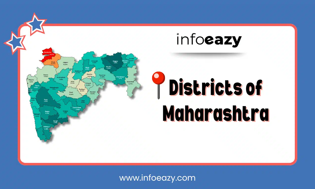
District of Maharashtra Map
Understanding Maharashtra’s 36 districts, including their area, population dynamics, administrative divisions, and socio-economic importance is crucial. Candidates can refer to the District of Maharashtra Map to get an idea of the borders shared by each district.
Districts of Maharashtra FAQs
Q1. How many districts are there in Maharashtra as of 2025?+
Q2. Which division has the most districts?+
Q3. Which district is the largest in Maharashtra by area?+
Q4. Which district is the smallest by area?+
Q5. Which district has the highest population?+