Manipur is a state located in the northeast part of India with Imphal as its capital. It covers about 22,327km² of geographical area. The name ‘Manipur’ means ‘Land of Jewels.’ The state is rich in culture, especially in martial arts, dance, theatre, and sculpture. There are a total of 16 Districts of Manipur, each known for different traditions and landscapes.
Districts of Manipur
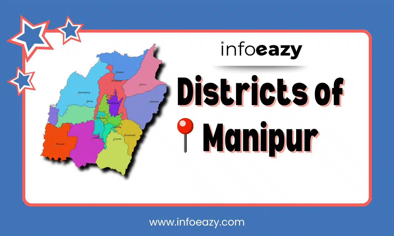
As of 2025, there are 16 Districts of Manipur, but initially the state had only 9 districts. However, 7 new districts were announced by the Manipur cabinet in December 2016. Each District is administered by a District Magistrate or Deputy Commissioner, who is an officer from the Indian Administrative Service (IAS). All of the 16 Districts are further grouped into two geographical regions – the valley and the hills.
Also Read: Districts of Mizoram
List of Districts of Manipur
As Manipur is divided into hill and valley regions, each has its own unique culture. The valley areas, like Imphal East and Imphal West, are mostly home to the Meitei people. On the other hand, the hill districts, such as Churachandpur, Ukhrul, and Senapati, are mainly home to tribal communities like the Nagas and Kukis. Here’s a complete list of all the current 16 Districts of Manipur, along with their respective headquarters, population, and area.
| List of Districts of Manipur | ||||
| Sr.no. | District | Headquarters | Population | Area
(km2) |
| 1 | Bishnupur | Bishnupur | 240,363 | 496 |
| 2 | Chandel | Chandel | 144,028 | 3,317 |
| 3 | Churachandpur | Churachandpur | 271,274 | 4,574 |
| 4 | Imphal East | Porompat | 452,661 | 710 |
| 5 | Imphal West | Lamphelpat | 514,683 | 519 |
| 6 | Jiribam | Jiribam | 43,818 | 232 |
| 7 | Kakching | Kakching | 135,481 | 190 |
| 8 | Kamjong | Kamjong | 45,616 | 2,000 |
| 9 | Kangpokpi | Kangpokpi | 193,744 | 1,698 |
| 10 | Noney | Noney (Longmai) | – | – |
| 11 | Pherzawl | Pherzawl | 47,250 | 2,285 |
| 12 | Senapati | Senapati | 354,772 | 3,269 |
| 13 | Tamenglong | Tamenglong | 140,143 | 4,391 |
| 14 | Tengnoupal | Tengnoupal | 59,110 | 1,213 |
| 15 | Thoubal | Thoubal | 420,517 | 514 |
| 16 | Ukhrul | Ukhrul | 183,115 | 4,547 |
Also Read: Chief Ministers of Manipur List
Largest District of Manipur
Churachandpur District is the Largest District of Manipur with an area of 4574 km² and occupies about 20.5 percent of the state’s area. It belongs to the southwest part of the Manipur state. The district got its name “Churachandpur” from the name of King Churachand Singh.
Smallest District of Manipur
Bishnupur District is the Smallest District of Manipur with an area of 496 km². It is located in the northeastern part of Manipur. The district includes various villages such as Nachou, Ngaikhong Khullen, Toubul, and Khoijuman Khullen, each contributing to the socio-cultural fabric of the area.
Districts of Manipur FAQs
Q1. How many new districts are there in Manipur?+
Q2. Which is the smallest district in Manipur area wise?+
Q3. How many districts are in Manipur in 2025?+
Q4. Which is the largest district of Manipur?+
Q5. Who is the first CM of Manipur?+
Tags: Districts of Manipur List of Districts of Manipur