Gujarat is the fifth-largest state by area in India, and its coastline is about 1600 km, which is the longest in the country. Gujarat was formed on May 1, 1960. The state is known for its rich cultural heritage. The state is a major economic hub, leading in pharmaceuticals, petrochemicals, and diamond processing. As of 2025, there are 34 Districts of Gujarat, where each district has its unique significance and collectively contributes to making the state one of the fastest-growing states in India.
Districts of Gujarat
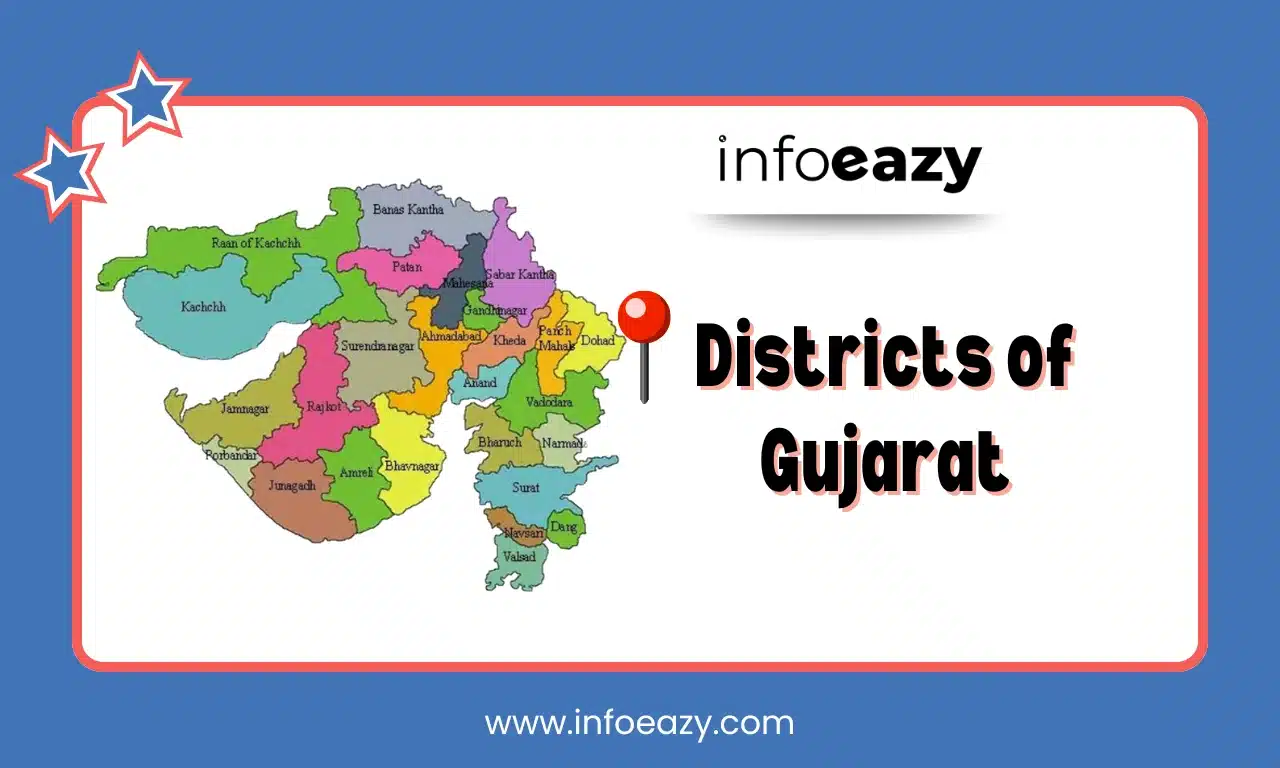
Gujarat has been divided into 34 districts, and further into five main regions North Gujarat, Central Gujarat, South Gujarat, Saurashtra, and Kutch. Ahmedabad is the most populated district. Kutch is the Largest District of Gujarat, and it’s also known as the Rann of Kutch. Each district has its own administrative headquarters and unique cultural or economic features.
List of Districts of Gujarat from 1960 to 2025
Gujarat was formed on May 1, 1960, and initially it had 17 states, but over the years, that number increased to 34 in 2025. In 2013, seven new districts were added to the state, such as Aravalli, Botad, Chhota Udepur, Dwarka, Mahisagar, Morbi, and Gir Somnath. Below we shared a list of the districts of Gujarat with their year of Formation and Population.
| List of Districts of Gujarat from 1960 to 2025 | |||
| S.No. | District | Year of Formation | Population |
| 1 | Ahmedabad | 1960 | 7,045,313 |
| 2 | Amreli | 1960 | 1,513,614 |
| 3 | Anand | 1997 | 2,090,276 |
| 4 | Aravalli | 2013 | 1,039,918 |
| 5 | Banaskantha | 1960 | 3,116,045 |
| 6 | Bharuch | 1960 | 1,550,822 |
| 7 | Bhavnagar | 1960 | 2,393,272 |
| 8 | Botad | 2013 | 656,005 |
| 9 | Chhota Udaipur | 2013 | 1,071,831 |
| 10 | Dahod | 1997 | 2,126,558 |
| 11 | Dang | 1960 | 226,769 |
| 12 | Devbhoomi Dwarka | 2013 | 752,484 |
| 13 | Gandhinagar | 1964 | 1,387,478 |
| 14 | Gir Somnath | 2013 | 1,217,477 |
| 15 | Jamnagar | 1960 | 1,407,635 |
| 16 | Junagadh | 1960 | 1,525,605 |
| 17 | Kutch | 1960 | 2,090,313 |
| 18 | Kheda | 1960 | 2,053,769 |
| 19 | Mahisagar | 2013 | 994,624 |
| 20 | Mehsana | 1960 | 2,027,727 |
| 21 | Morbi | 2013 | 960,329 |
| 22 | Narmada | 1997 | 590,379 |
| 23 | Navsari | 1997 | 1,330,711 |
| 24 | Panchmahal | 1960 | 1,642,268 |
| 25 | Patan | 2000 | 1,342,746 |
| 26 | Porbandar | 1997 | 586,062 |
| 27 | Rajkot | 1960 | 3,015,229 |
| 28 | Sabarkantha | 1960 | 1,388,671 |
| 29 | Surat | 1960 | 6,079,231 |
| 30 | Surendranagar | 1960 | 1,585,268 |
| 31 | Tapi | 2007 | 806,489 |
| 32 | Vadodara | 1960 | 3,093,795 |
| 33 | Valsad | 1966 | 1,703,068 |
| 34 | Vav-Tharad | 2025 | 1,380,870 |
Also Read: Districts of Arunachal Pradesh
Largest District of Gujarat
Kutch is the Largest District of Gujarat and also the Largest District of India by area, covering 45,674 square kilometers. The district is bordered by the Great and Little Rann of Kutch, the Gulf of Kutch, and the Arabian Sea from all directions, and it also shares an international border with Pakistan to the northwest. Kutch is renowned for its cultural diversity and natural beauty. The Kutch’s annual Rann Utsav is famous for its local crafts, music, dance, and the unique landscape of the salt desert.
Smallest District of Gujarat
Dang is the Smallest District of Gujarat in terms of both area and population. Dang is known for its tribal population, rich biodiversity, and natural beauty, especially for the Saputara hill station. Dang has only one town, which is Ahwa, and it serves as the district headquarters. The district’s economy is mainly dependent on agriculture and forest products.
Districts of Gujarat FAQs
Q1. Which district has the highest population in Gujarat?+
Q2. Which district is the newest in Gujarat?+
Q3. Which is the Smallest District in Gujarat by area?+
Q4. Which district is known for diamond cutting and textiles?+
Q5. Which district is popular for the Gir National Park?+
Tags: Districts of Gujarat Districts of Gujarat from 1960 to 2025 Districts of Gujarat from 1960-2025